The solution
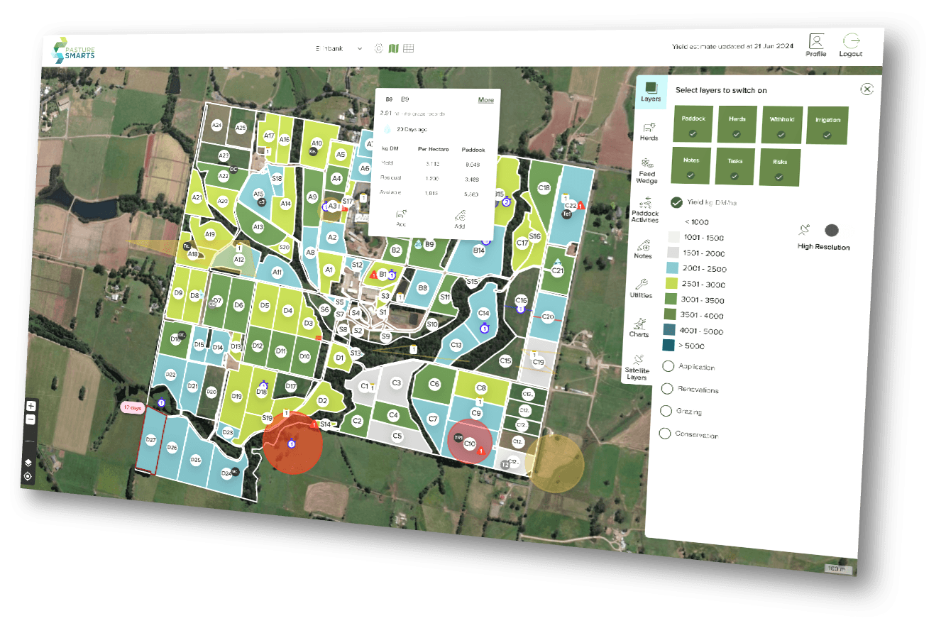
We built an interactive property map so farmers can see the whole farm and plan how stock will move between paddocks.

Case study
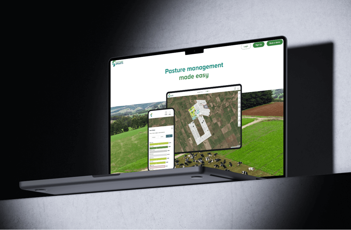
Agriculture Victoria Services asked Devy to build PastureSmarts, a farm-management application that combines property maps, satellite feed estimates, grazing plans and team tasks. Farmers can plan paddock use and keep staff working from the same information.

Dr Kemperly Dynon
Commercialisation Manager
“The talent at Devy was top notch at both design and execution. They allowed us to really kick off our project, boosting agriculture tech in the state of Victoria.”
Agriculture Victoria Services wanted to give farmers a clearer way to manage herds and paddocks with satellite imagery and model data. The application had to turn that data into something useful in the field, not another report that sat apart from daily farm work.
The brief was to combine property maps, satellite imagery and model data in one practical planning tool. Farmers needed to see available feed by paddock, schedule grazing, manage herds and assign work without moving between separate records.
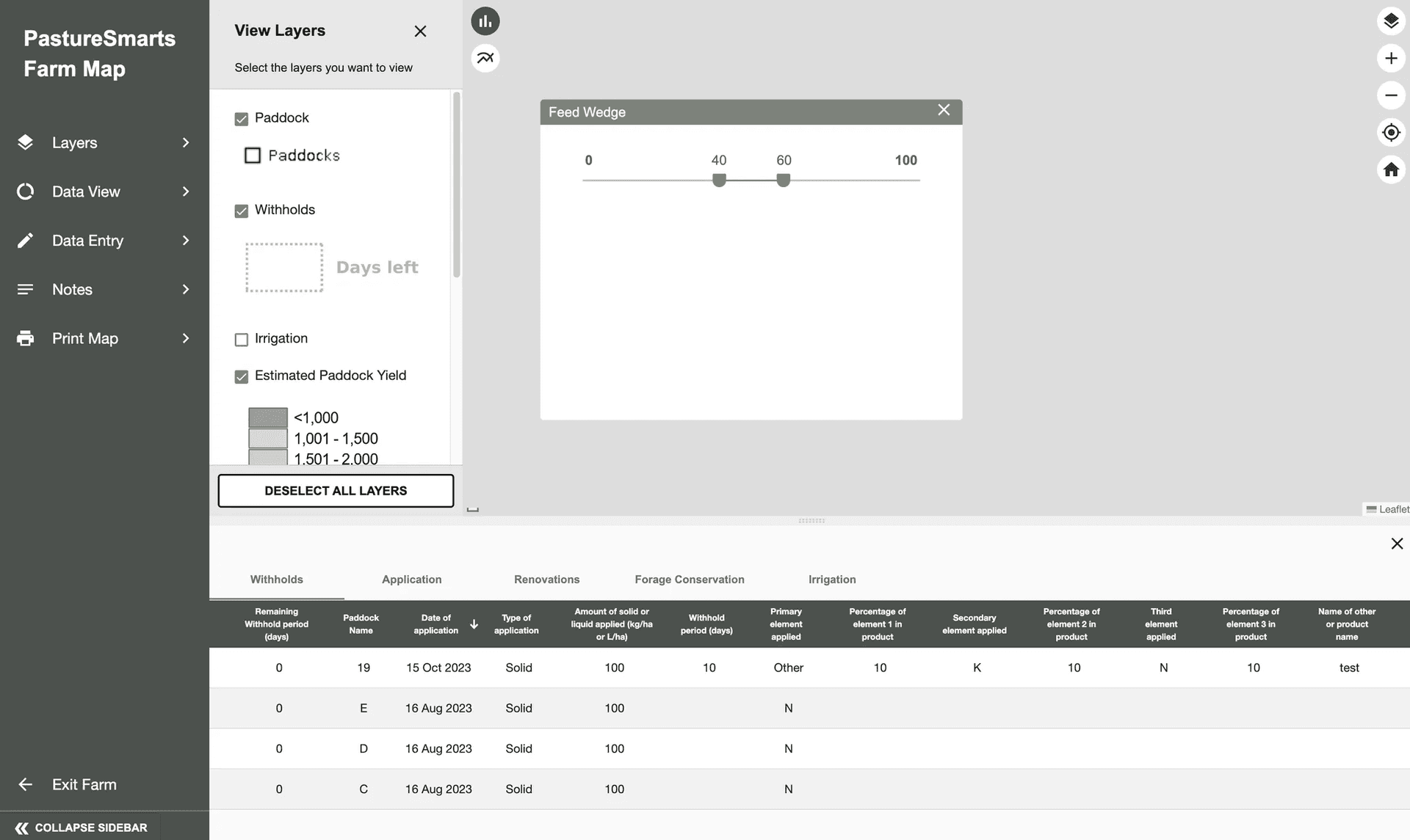
An earlier software product did not cover the full farm workflow. Property layouts, grazing plans, paddocks, herds, staff tasks and risks still had to be managed across different places. AVS needed those records to work together in an interface farmers could use day to day.
We built an interactive property map so farmers can see the whole farm and plan how stock will move between paddocks.
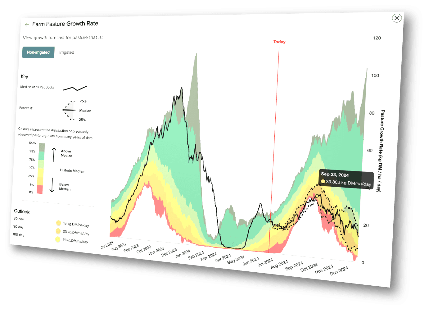
Satellite imagery and model data show the estimated feed available in each paddock, giving farmers current information for grazing schedules.
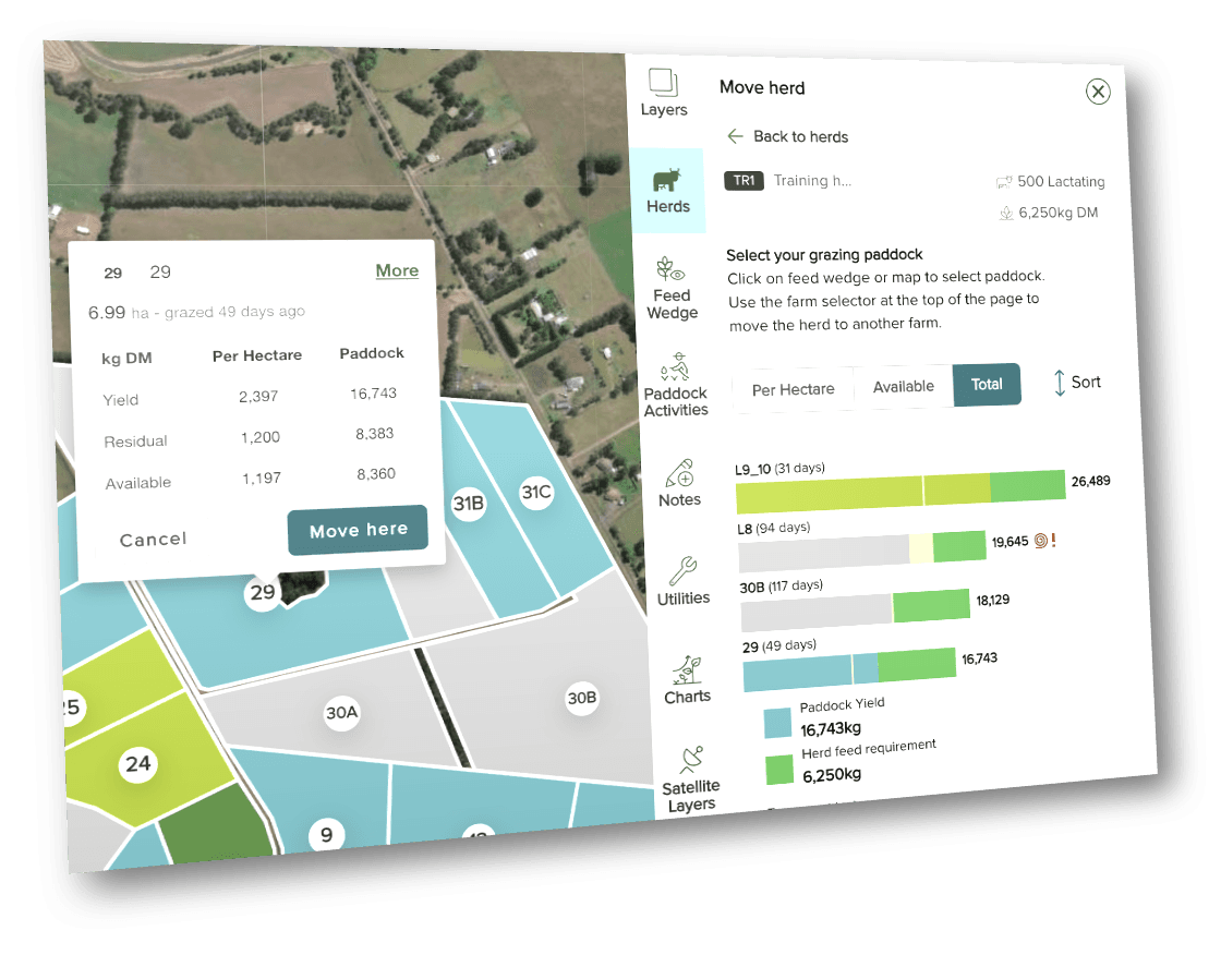
PastureSmarts also brings paddocks, herds, staff, nodes, tasks and risks into the same application. Farmers can print maps, schedule grazes and invite staff to help manage the property.
Delivery approach
The decisions that kept the product tied to the people using it.
Devy handled product design, software architecture and delivery through to launch.
AVS had working software to review in the first sprint, so feedback could shape the product from the start.
The product turns mapping and feed data into grazing plans, records and tasks farmers can act on.
Show us the workflow that is slowing your team down.
Get Free Working Demo